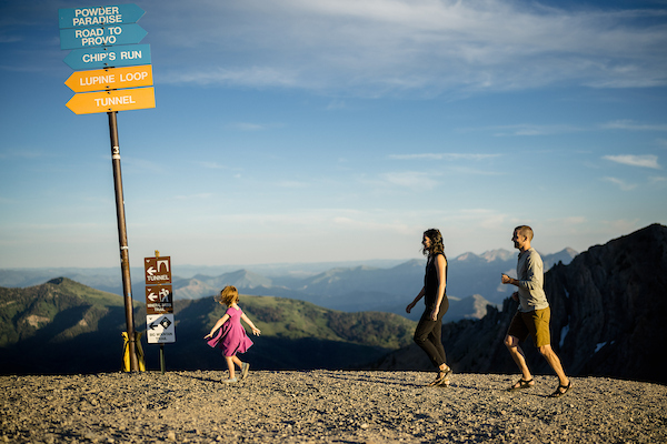
Boarding a flight to Denver for my first backcountry ski trip, I still had plenty of questions despite all the studying and training I’d done: How do people identify terrain risk in the field? Would I encounter slopes I couldn’t ski? Could an app really help demystify the art of winter route planning? Even so, I was ecstatic—the trip felt like the culmination of two years of reading, practicing, and manifesting. OnX Backcountry answered most of those questions through a demo of the app’s impressive features.
When Harry Child, the PR manager for onX Backcountry, described the app as a “Swiss army knife” for backcountry navigation, he wasn’t exaggerating. The app has four modes—skiing, hiking, climbing and mountain biking, making it a fantastic option any time of year. They’re easily changed from the main menu, offering quick access to the most relevant information. Paired with several information layers like avalanche forecasts, slope angle gradients, slope aspect information, wildfire and air quality information and weather reports, the app is very helpful in trip planning before and during a trip. Plus, information can be downloaded for offline use, meaning the tool isn’t rendered useless when you leave cell service. On the topic of cell service, the app also shows coverage layers for three of the largest carriers: AT&T, Verizon and T-Mobile, in select areas.
Perhaps most impressively, the app displays a highly detailed, easy‑to‑read Avalanche Terrain Exposure Scale, which you can toggle on or off from the main menu. The ATES scale helps assess potential avalanche danger based on terrain exposure and runout zones—a feature that’s rare in navigation apps because it requires extremely precise terrain modeling. Whether you’re new to backcountry skiing or a seasoned expert, this feature takes some of the guesswork out of slope angle measurements.
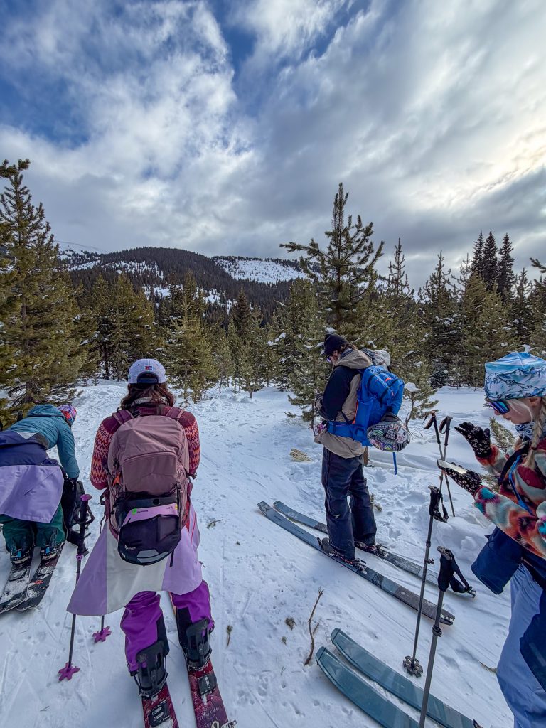
While you’ll still want plenty of training (and an experienced companion or two) before taking the plunge into the backcountry, onX Backcountry is a fantastic addition to your kit—right alongside your beacon, probe, and shovel. Looking to keep learning? Take a class through the Utah Avalanche Center or pick up the latest edition of Bruce Tremper’s Staying Alive in Avalanche Terrain.
How Does onX Backcountry Do It?
Besides a lot of hard work in the app engineering department, onX uses public records data and zoning information, as well as partnering with public organizations, like the U.S. Forest Service and local avalanche centers, to provide as much information as possible to users. Through this information, they provide a fantastic navigation and planning tool for recreators of any level.
The app is free to download, but there are subscription tiers required to use many of the features. This is the rare occasion where I’d recommend splurging on the Elite package, which is usually $99.99 for a year ($3.33 per month).
Discover more Outdoor inspiration and find all our Adventure coverage. And while you’re here, why not subscribe and get six annual issues of Salt Lake magazine’s curated guide to the best of life in Utah?